Manitoba Maps
Disclaimer: The route information we provide is of a general nature, and Paddle Manitoba will not be held responsible for any errors or omissions. Conditions on waterways are subject to water levels, weather, erosion, and other environmental factors. There is no substitute for scouting and care while paddling, and users should consult the latest topographical maps before departure. Also note that older documents may not use language or suggest practices that reflect today's standards. Use the information on this page at your own risk.
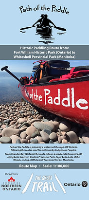
Path of the Paddle Route Map
Path of the Paddle Association
2020
The Path of the Paddle Association operates the 1100km section of the Trans Canada Trail from Thunder Bay to Manitoba. Within Manitoba, the map covers routes within Whiteshell Provincial Park.
Availability:
Paper: In-print and available from Path of the Paddle Association and Wilderness Supply.
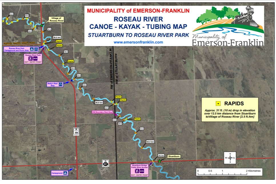
Roseau River Canoe - Kayak - Tubing Map
Rural Municipality of Emerson-Franklin
2017
The map was created by the Rural Municipality of Emerson-Franklin to make the river easier and safer for locals and tourists to navigate. The river has been marked every mile for 30 kilometres, so people know exactly where they are while on the water.
Availability:
PDF: See below for specific section links.
Stuartburn to Roseau River Park Map
Roseau River Park to PR 218 Map
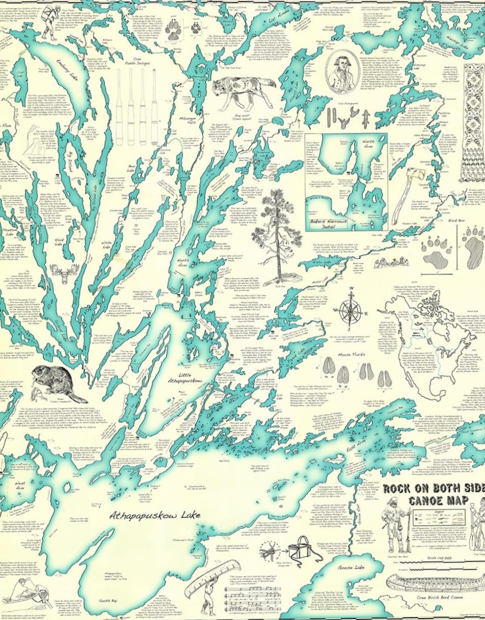
Rock on Both Sides Canoe Map
Scott Gilmore
2015
The Rock on Both Sides Canoe Map covers Atahapapuskow Lake and routes extending north from the lake, an area east of Flin Flon, near Cranberry Portage and Bakers Narrows. It gives portage locations and distances and great natural and cultural history. It should be used in conjunction with topographic maps.
Availability:
Paper: Out-of-print.
PDF: Rock on Both Sides Canoe Map
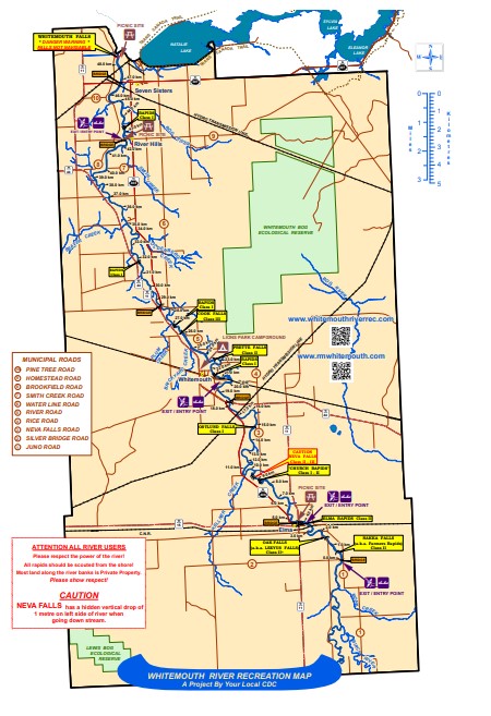
Whitemouth River Recreation Map
Rural Municipality of Whitemouth
2015
The map was created by the Rural Municipality of Whitemouth to help ensure paddlers have safe journeys on the Whitemouth River.
Availability:
PDF: Whitemouth River Recreation Map
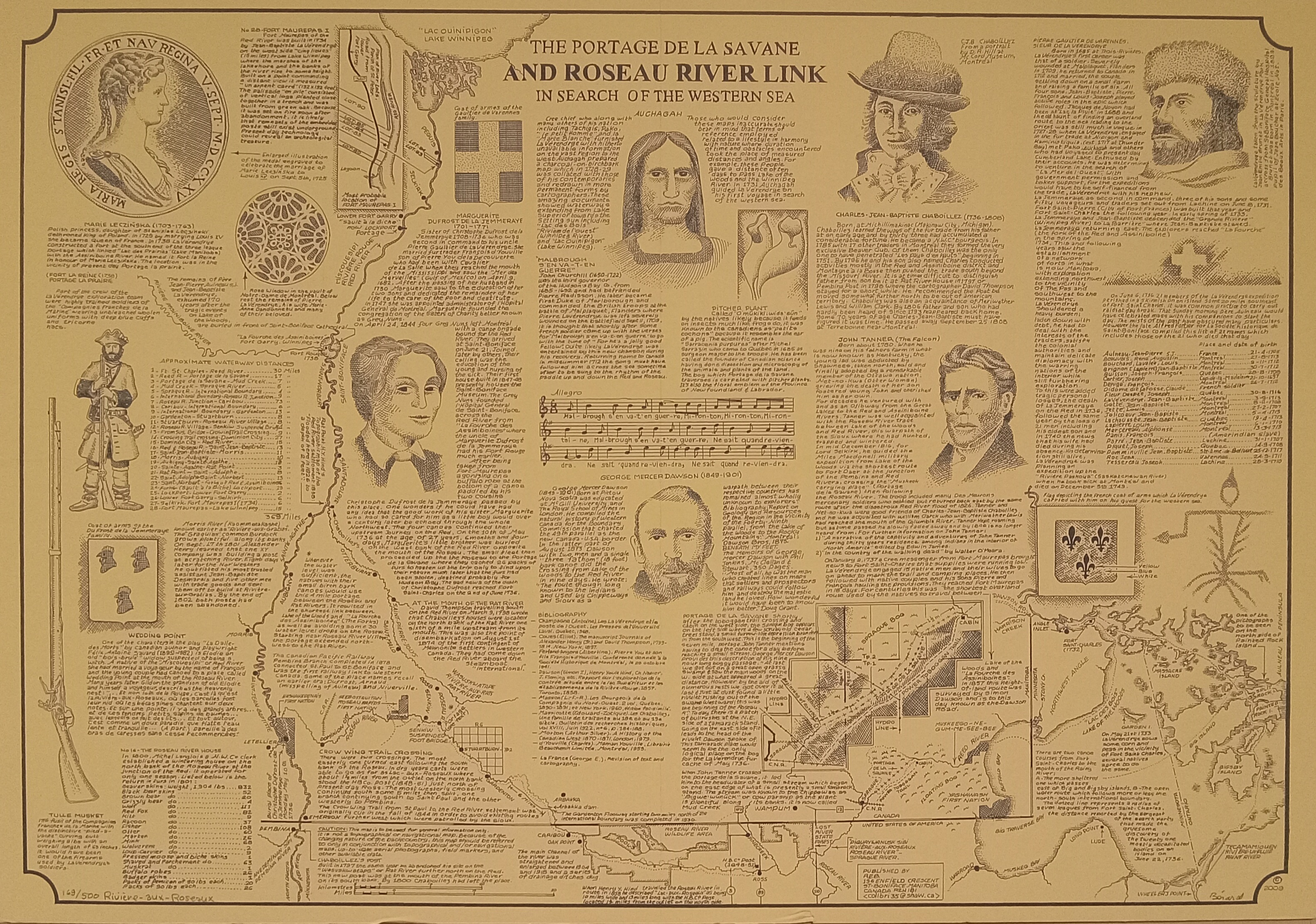
The Portage de la Savane and Roseau River Link Map
Réal Bérard
2009
This map is a chronicle of the portage between Lake of the Woods and Roseau River, which eventually leads to Red River. It is filled with ample natural and cultural history, but should be used for planning only.
Availability:
Paper: Out-of-print.
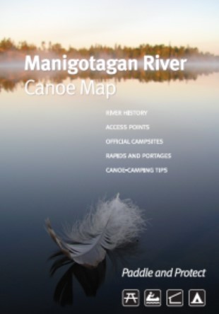
Manigotagan River Canoe Map
Manitoba Eco-Network
2008
The Manitoba Eco-Network's GIS/Mapping Centre began work on the development of a new canoe map for the Manigotagan River in 2006 with the goal of facilitating and promoting environmentally sensitive use of the river, while raising awareness of its history and ecosystems.
Availability:
Paper: In-print and available from Manitoba Eco-Network and Wilderness Supply.
On-line: Manitoba Eco-Network Canoeing the Manigotagan Interactive Map
PDF: Manitoba Eco-Network Manigotagan River Canoe Map
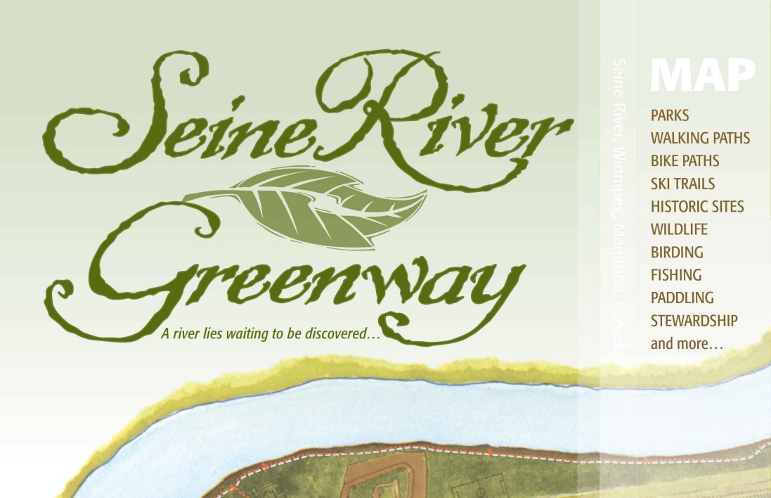
Seine River Greenway Map
Save Our Seine River Environment Inc.
2005
Save our Seine River Environment Inc. is a non-profit organization in Winnipeg whose mandate is to preserve, protect, enhance, restore and repair the Seine River greenway. This map offers information on access and egress, portages and natural and cultural history insights.
Availability:
Paper: In-print and available from Save Our Seine.
PDF: Seine River Greenway Map
Manitoba Parks
Manitoba Natural Resources and Northern Development - Manitoba Parks
2001 to present
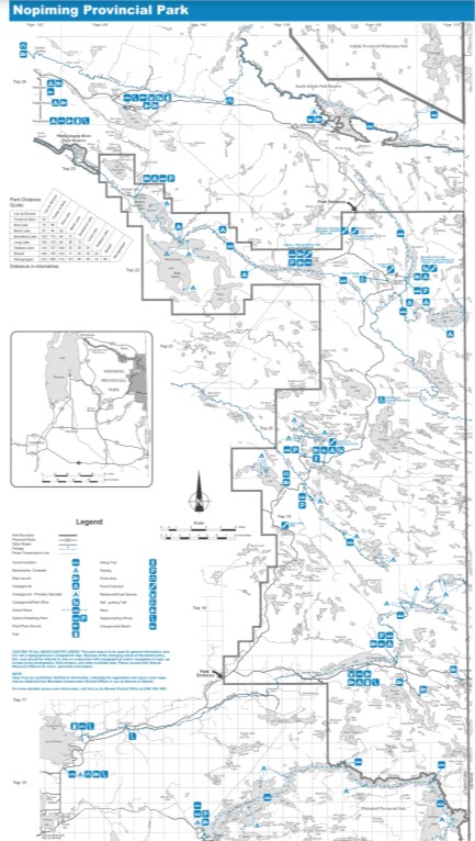
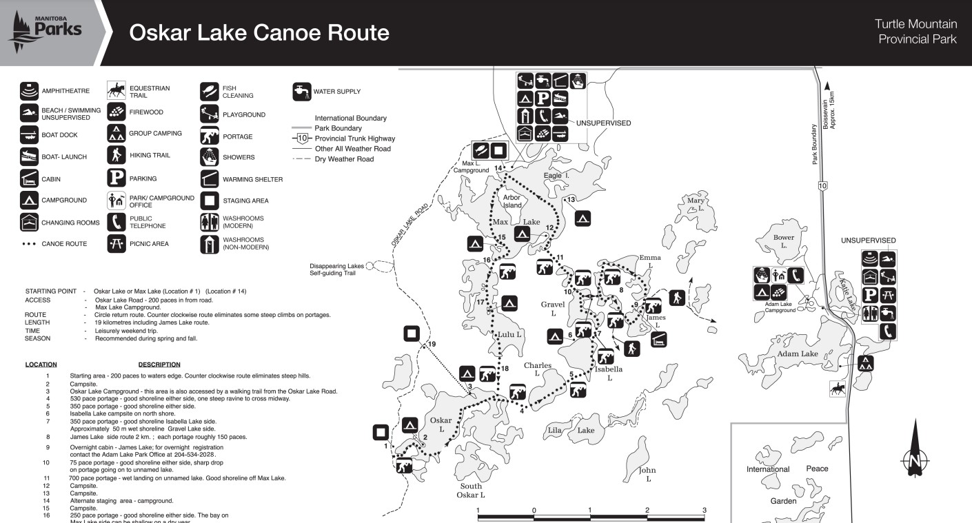
Many provincial parks in Manitoba offer paddling opportunities. Manitoba Parks produces maps to show general routes, specific routes, campsites and other information for paddlers.
Availability:
Paper: In-print and available from park offices or by contacting Manitoba Parks.
PDF: See below for specific park map links.
Atikaki Provincial Wilderness Park
Atikaki Provincial Wilderness Park Map
Duck Mountain Provincial Park
Duck Mountain Provincial Park Map
Beaver Lake Canoe Route Map
Chain Lakes Canoe Route Map
Grass River Provincial Park
Grass River Provincial Park Map
Grass River Recreation Water Routes Map
Manigotagan River Provincial Park
See Manigotagan River Canoe Map from Manitoba Eco-Network above.
Nopiming Provincial Park
Nopiming Provincial Park Map
Nopiming Recreation Water Routes and Manigotagan Water Routes Maps
Shoe Lake Backcountry Sites Map
Tulabi Falls Backcountry Sites Map
Paint Lake Provincial Park
Paint Lake Provincial Park Map
Pisew Falls Provincial Park
Pisew Falls to Kwasitchewan Falls Route Map
Spruce Woods Provincial Park
Spruce Woods Provincial Park Map
Spirit Sands and Devils Punch Bowl Trails Brochure and Map
Turtle Mountain Provincial Park
Turtle Mountain Provincial Park Map
Oskar Lake Canoe Route Map
Whiteshell Provincial Park
Whiteshell Provincial Park Map
Whiteshell Provincial Park Backcountry Map
Assiniboine River Canoe Route Map
Province of Manitoba
1985
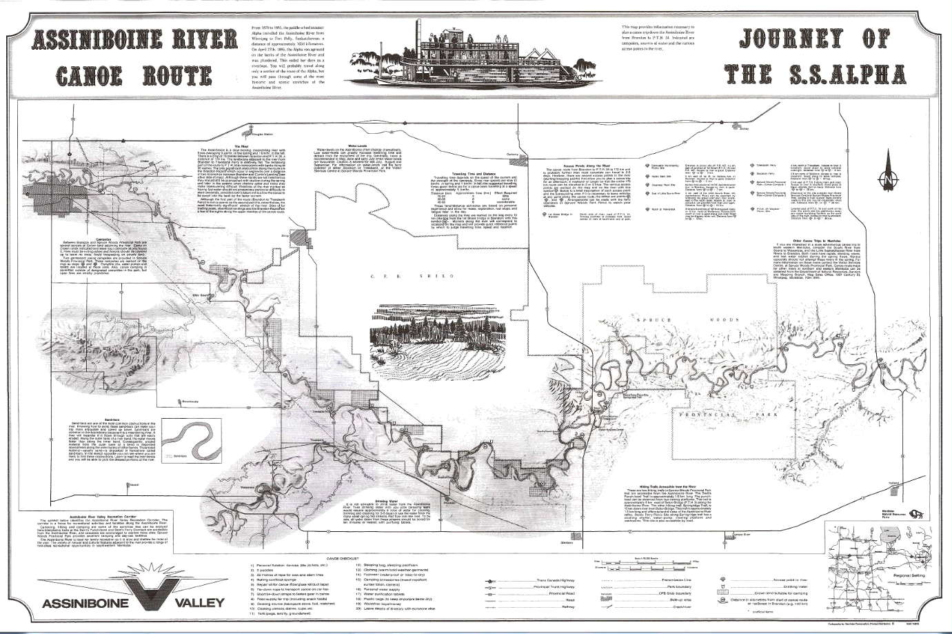
This map gives an overview of a paddling route on the Assiniboine River, between Brandon and Highway 34, just past Spruce Woods Provincial Park.
Availability:
Paper: In-print and available from Canada Map Sales and Repromap.
Réal Bérard Canoe Route Maps
Réal Bérard - Province of Manitoba
1960s - 1980s
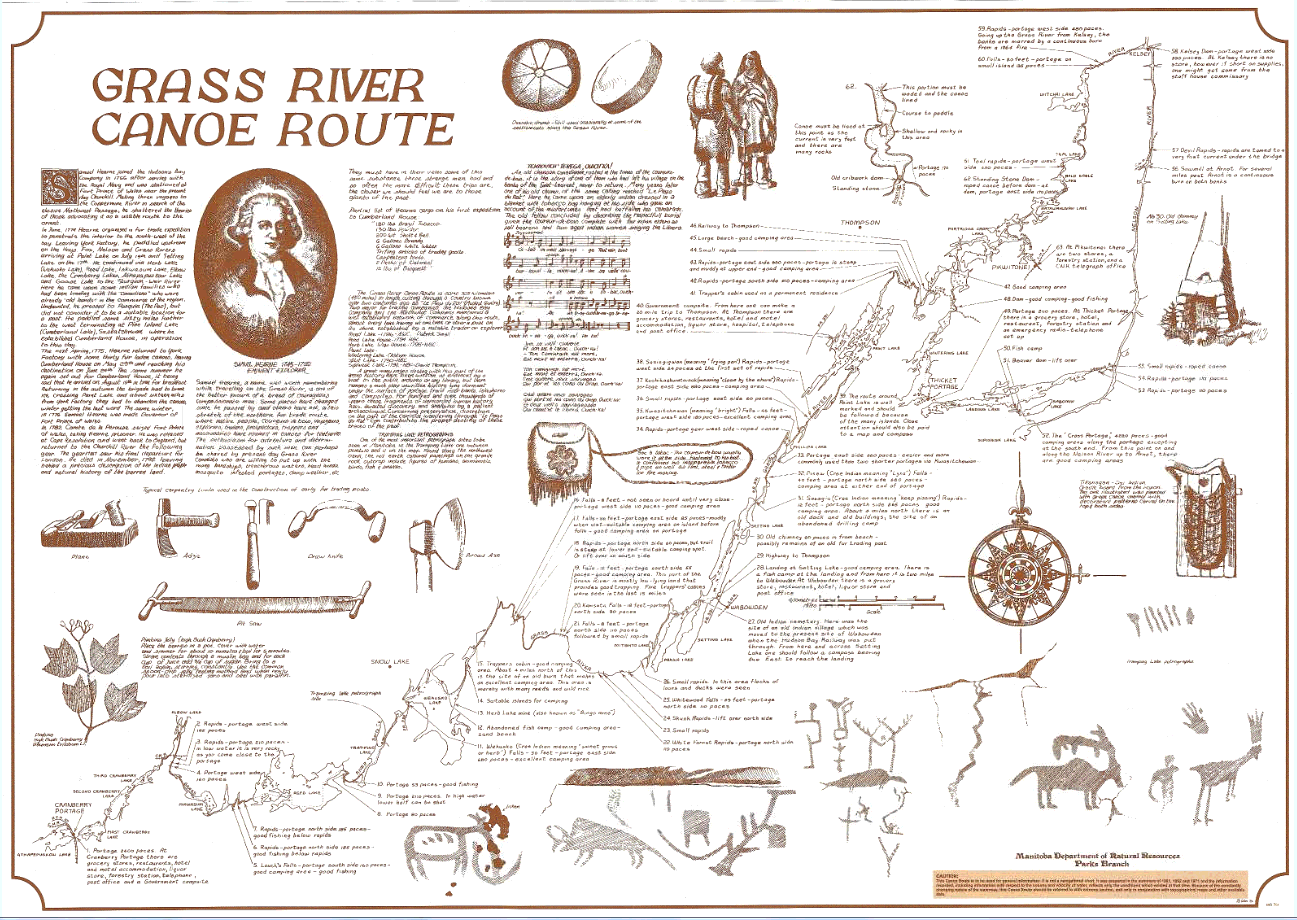
These fascinating maps, showing routes and history, across many areas of the province, were drawn and researched by Manitoba artist Réal Bérard during his time working for Manitoba Parks. While they do show routes, they should be used for planning and not navigation.
Availability:
Paper: In-print and available from Canada Map Sales and Repromap.
Réal Bérard Canoe Route Maps by Title:
Grass River Canoe Route
Kautunigan Route
Land of Little Sticks Route
Little Grand Rapids Canoe Routes
Misitk Creek Canoe Route
The Bird - Manitgotagan Waterways
Rivière aux Rats Canoe Route
Sasaginnigak Canoe Country
The Middle Track and Hayes River Route
Waterhen Country
Whitemouth River Canoe Route
Winnipeg River Routes
Réal Bérard Canoe Route Map Areas (Note the Assiniboine Route Map is not by Réal Bérard)
Sketch Map of the Red River Delta
Province of Manitoba
1930s
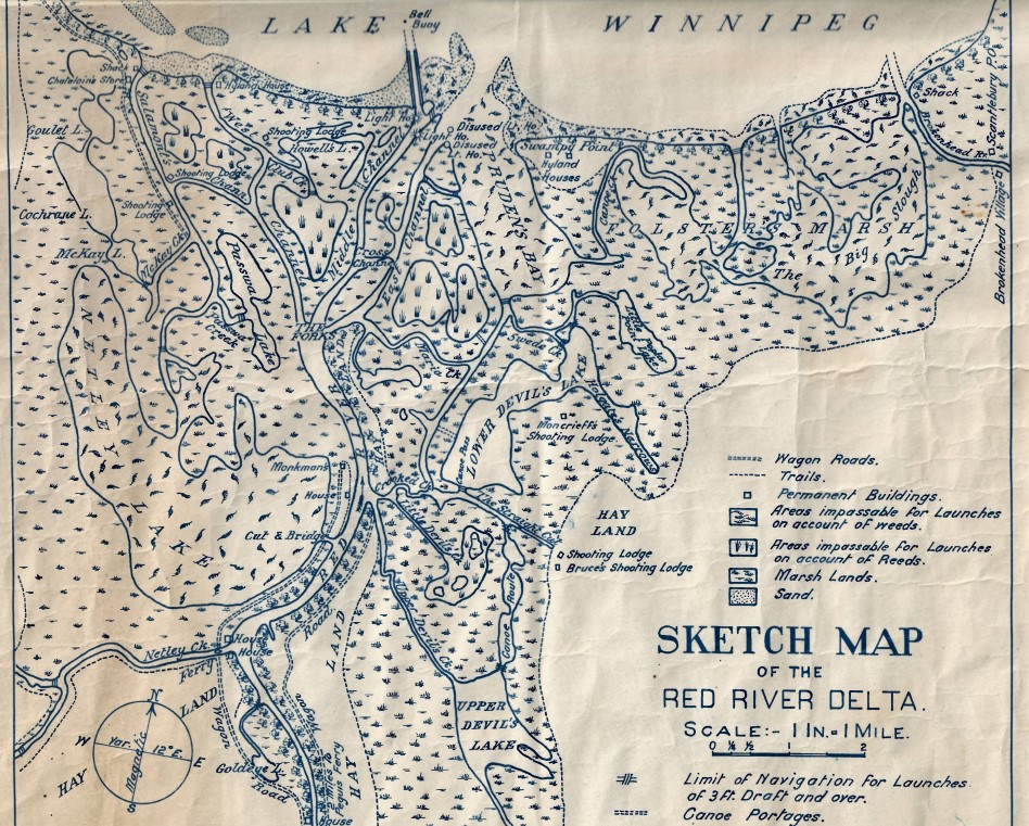
This map shows portages and canoe "passes" through Netley-Libau Marsh at the mouth of the Red River at Lake Winnipeg. It may be of interest to those wishing to explore these historical paddling locations and should be used in conjuction with modern maps.
Availability:
Paper: Out-of-print.
PDF: Sketch Map of the Red River Delta
Follow us @paddlemanitoba, hashtag your own photos #paddlemb


